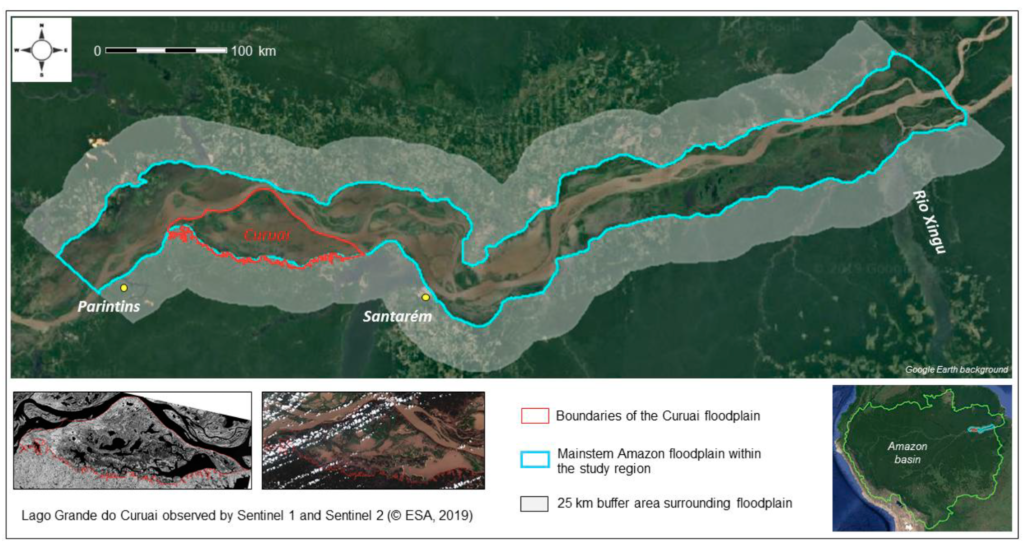
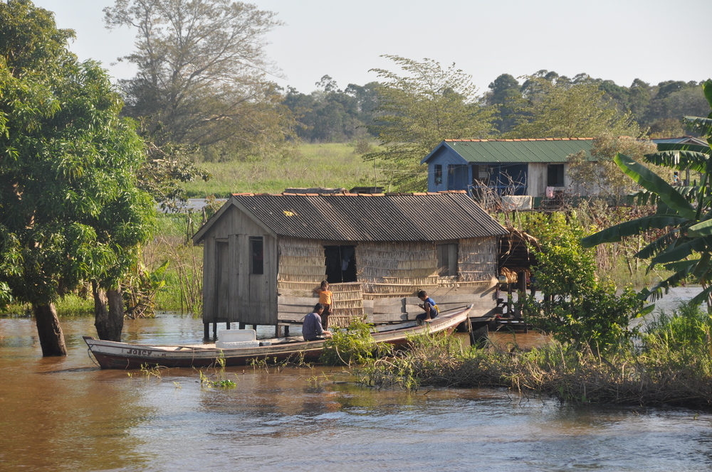
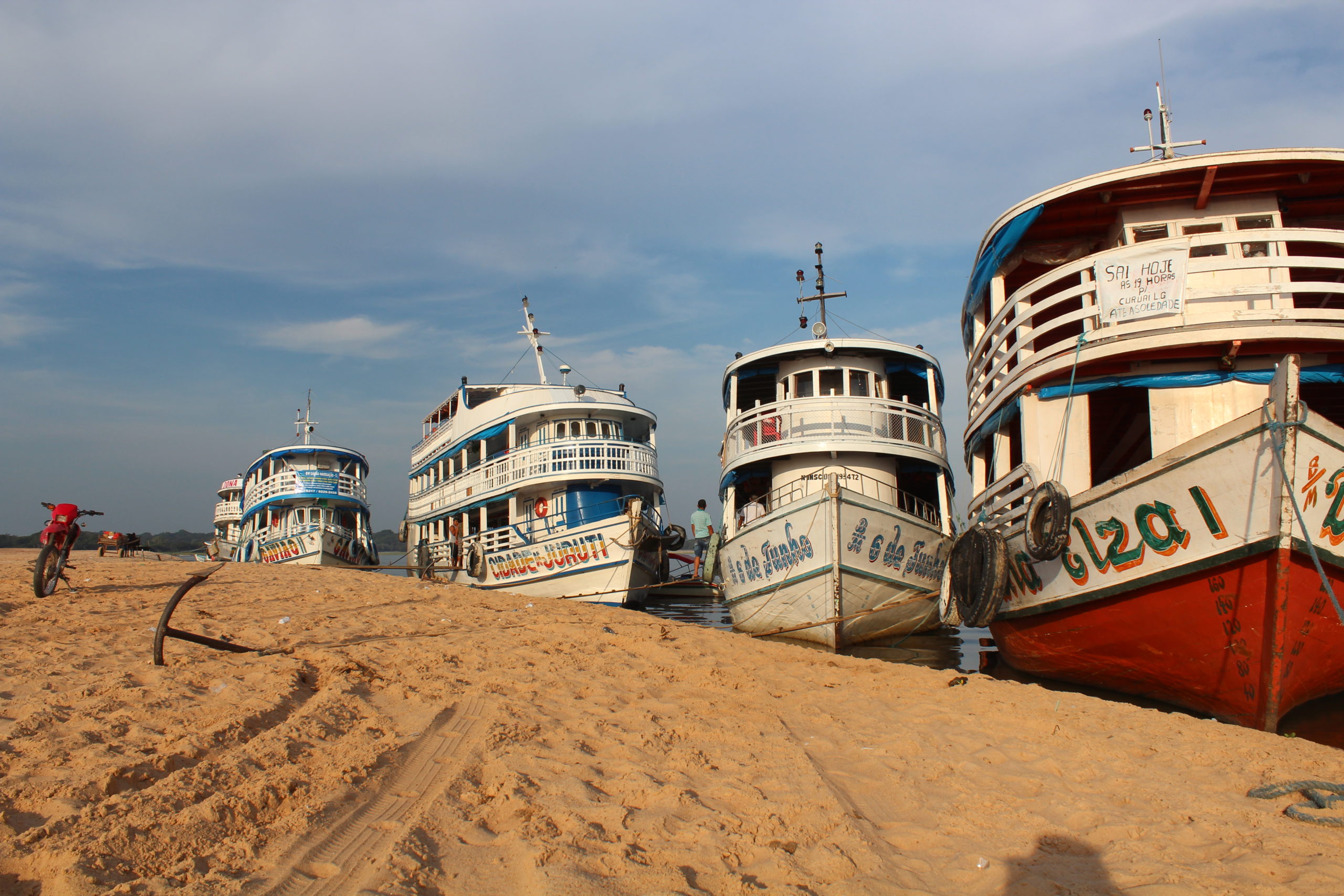
Our study region encompasses a 20,000 sq km reach of the lower Amazon floodplain, and a 30,000 sq km upland buffer zone. Here, our international team (Brazil, France, UK, Canada, US) has been working for decades, doing field measurements, remote sensing, fisheries and biodiversity research, and stakeholder workshops, and collaborating in numerous projects and publications.
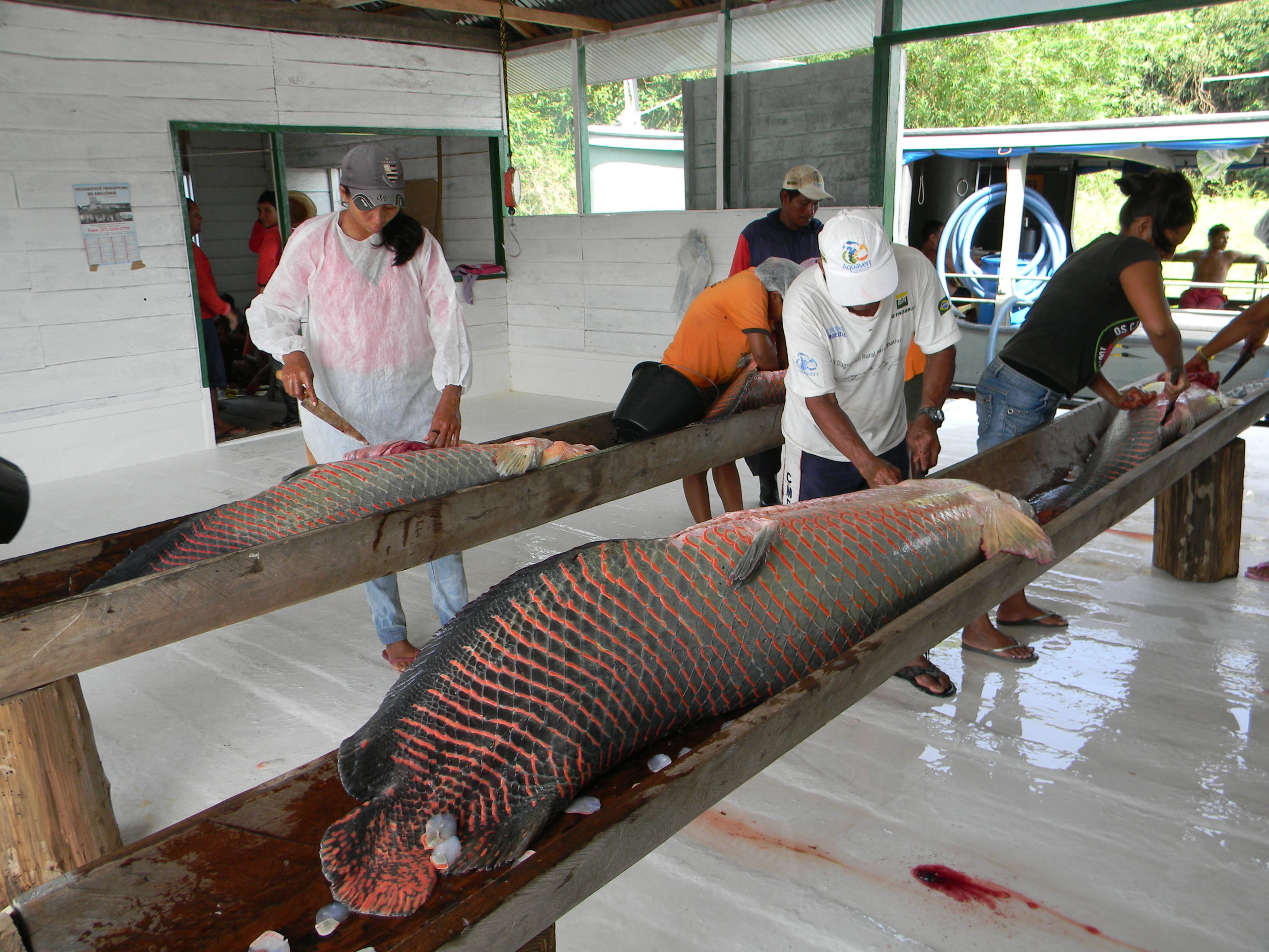
Pará still does not have a functional fisheries management policy and much of the fish supply chain is invisible to government fiscal, sanitary and environmental regulators. However, the new governor, Helder Barbalho, former Minister of Fisheries and Aquaculture, understands the potential of the fisheries and aquaculture sector of Pará and his Secretary of Agriculture and Fisheries (SEDAP), Hugo Suenaga, recently reaffirmed the governor’s commitment to developing the fish producing potential of the state.